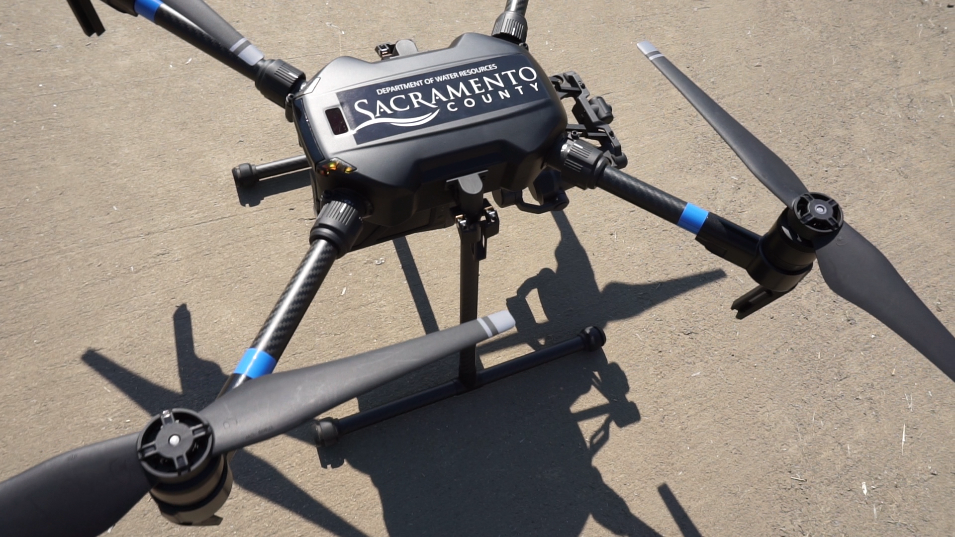
DWR is taking to the air as a new way of monitoring drainage canals and pipes in the unincorporated areas. This new aerial technique will allow DWR crews the ability to reach locations without sending in bulky trucks on hard to reach canal roads searching for issues.
As part of the daily maintenance within the unincorporated areas, County drainage crews monitor a system that includes:
- 1,324 miles of underground pipe;
- 323 miles of creeks and channels; and
- 20 detention basins.
This is done year-round and much of the work requires crews walking into areas where vehicles don’t have access. As part of their maintenance effort, crews must gain access to narrow areas and sometimes they come upon unknown hazards, like illegally dumped furniture, discarded drug needles, or homeless encampments. In some cases to gain access to an area, crews need to must reach out to residents and reach the drainage site through private property. The drone allows DWR to access tough locations without putting crews in harm’s way or burdening private residences. The drone’s camera provides a better and safer view of potential issues developing within creeks, detention basins, and underground pipes.
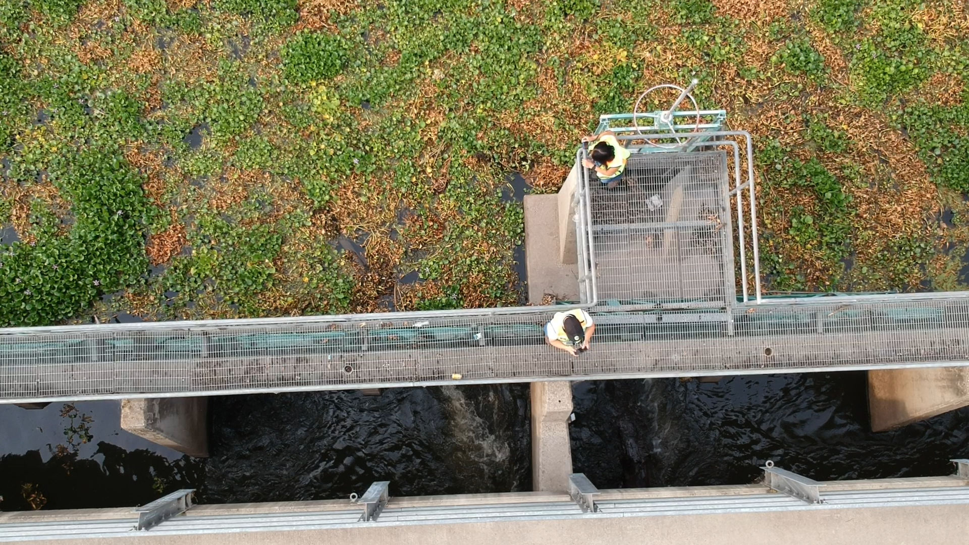
Along with maintenance work, the drone will be used during big storm events in areas where there might be flooding or possible failure of the drainage system. DWR expects the drone will help find problems faster, allowing crews to respond faster, and provide an accurate location of the issue.
If you live near a County drainage system, you may see the drone monitoring the area. DWR is not using this tool for law enforcement purposes nor to focus on private property. If your drainage system is near your property, DWR will attempt to reach out to you prior to flying the drone to let you know it will be in the area.
View a sample of how we use the DWR Drone.
View more video from the DWR Drone Program.