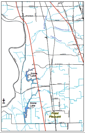
 Location Map: Point Pleasant lies within the Beach Stone Lakes (BSL) area. The BSL area is bounded by the Southern Pacific Railroad (SPRR) on the west, Lambert Road on the south, the Western Pacific Railroad (WPRR) on the east, and Morrison Creek on the north. Point Pleasant is in the southeastern corner of that area.
(View the Map)
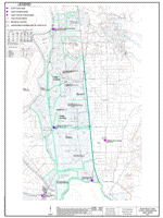 Levees and Embankments: Shows the location and elevations of key structures affecting flood depths in Point Pleasant levees and embankments.
(View the Map)
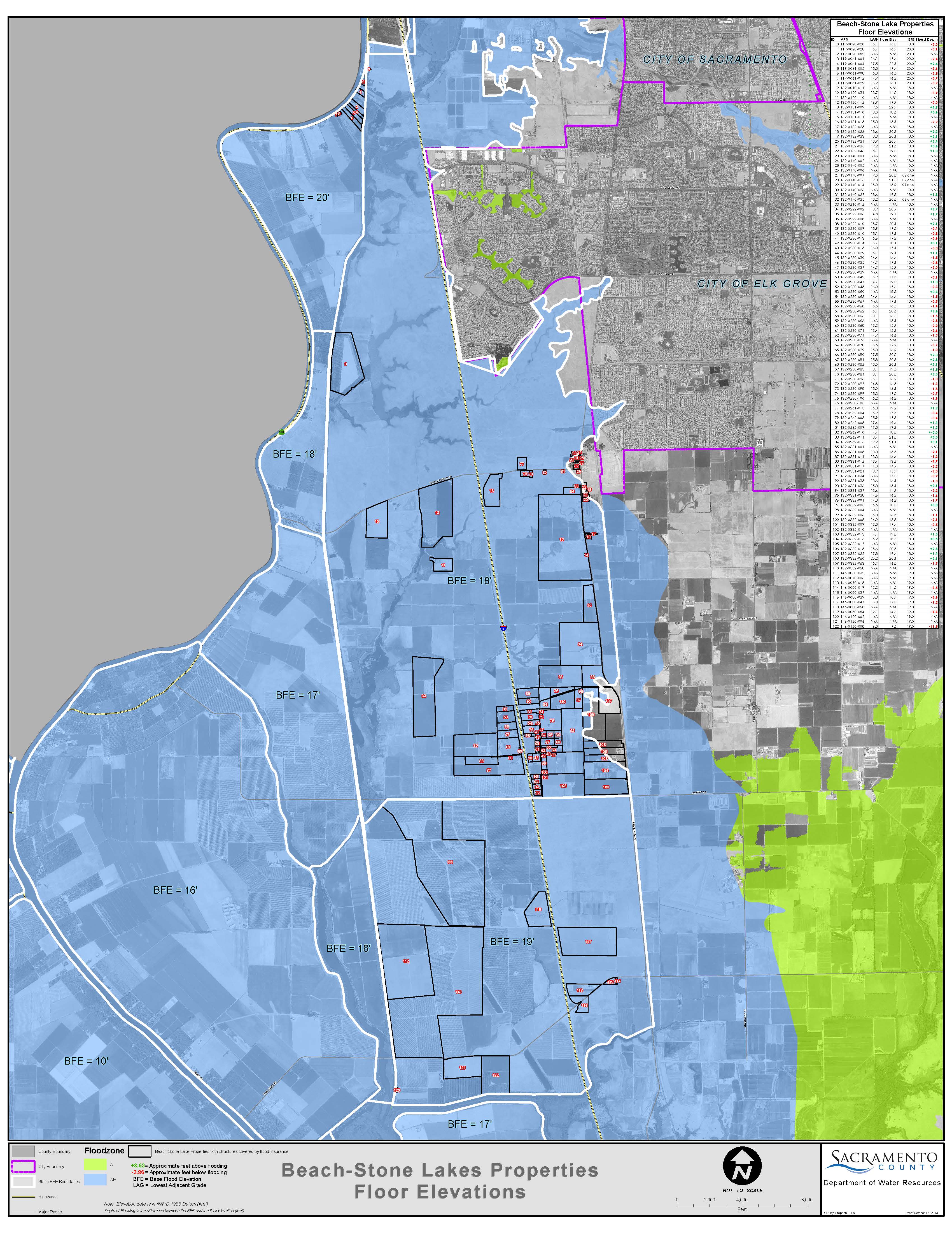 FEMA Floodplains: Shows the figure for information on FEMA floodzones and Base Flood (100 yr) elevations. Also shows the structure (FF-Finish Floor) and ground(LAG - Lowest Adjacent grade) elevations for each residence.
Also see: