Major floods in recent history and their recorded high water elevations are listed in the following table:
| 1955 | 10.7 | Lambert Road north |
| 1958 | 11.8 | Lambert Road north |
| 1982 | 11.5 | Hood Franklin Road |
| 1983 | 10.5 | Hood Franklin Road |
| 1986 | 14.0 | Lambert Road north |
| 1997 | 11.8 |
Lambert Road north |
1986
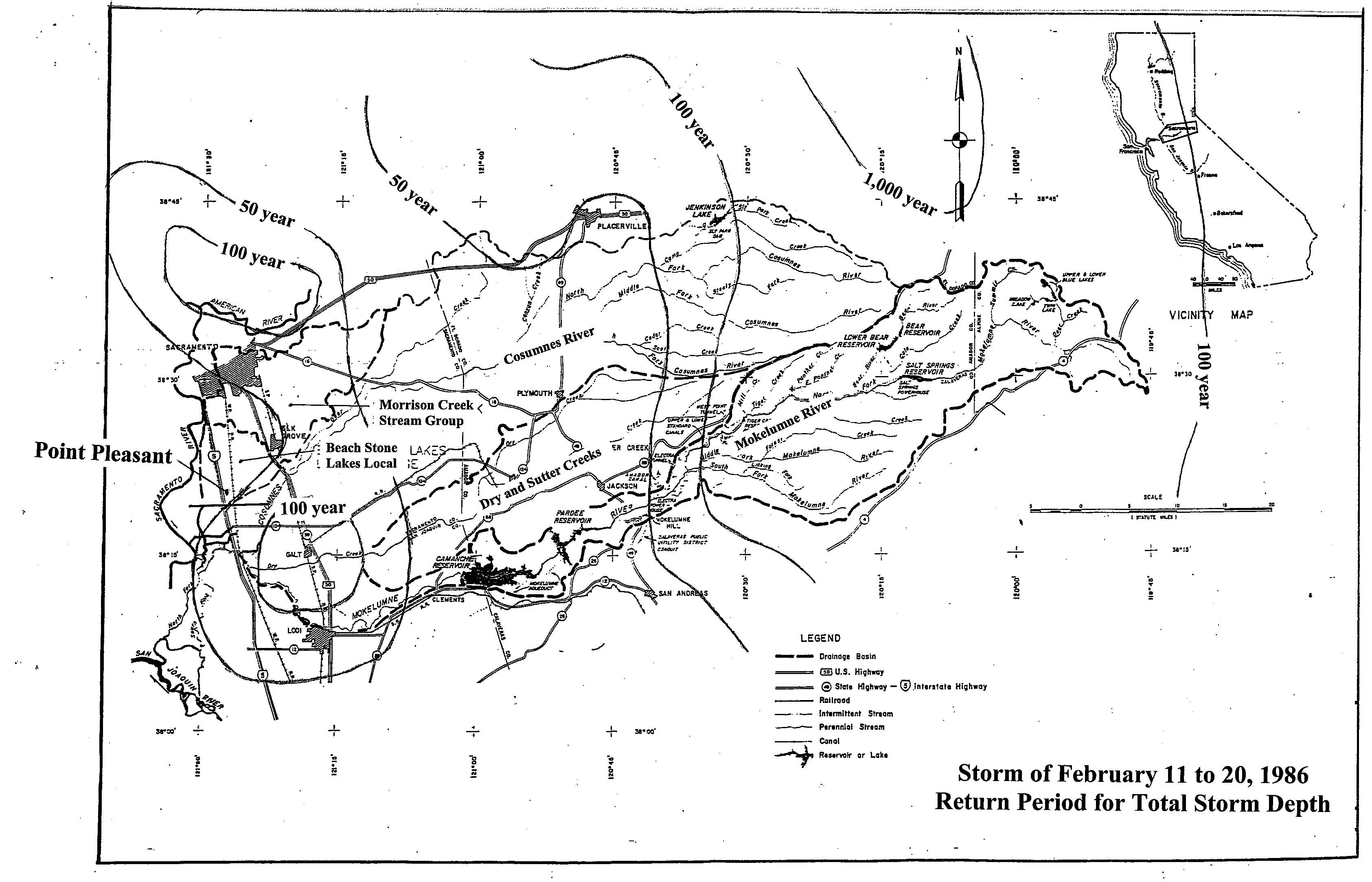
The 1986 storm caused the highest recorded flood elevations in the Point Pleasant area. It occurred over a 10-day period from February 11 through 20. Rainfall exceeded the 100-year frequency over many portions of the drainage area. Peak flows in the Cosumnes and Mokelumne rivers averaged between 60-to 110 year frequency, and Morrison Creek averaged 50- to 60-year frequency.
1997
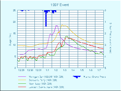
The 1997 storm was the largest recorded event on the Cosumnes River, with peak flow at the Michigan Bar stream gauge estimated to be close to a 200-year event. Many Cosumnes levees breached during this storm.
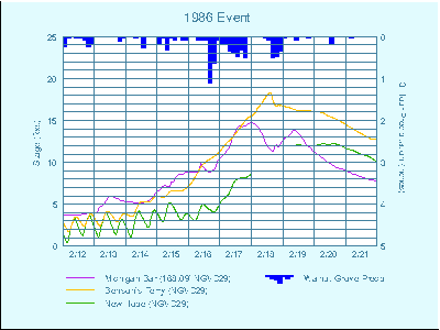
1997 Observed Stages shows runoff hydrographs for four locations and the rainfall pattern from a local rain gauge
Return Period for
Total Storm Depth 1986
 |
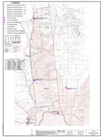
1986 Historical Flooding
 |
1986 Observed Stages
 |
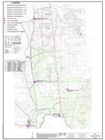
1997 Historical Flooding
 |
1997 Observed Stages
 |
Return to: Beach Stone Lakes/Point Pleasant Flood Plan